THE MORPHOMETRIC ANALYSIS OF WADI AWARDH BASIN
(EAST OF SHABWA GOVERNORATE-YEMEN)
الملخص
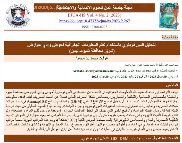
تهدف الدراسة إلى استخدام تقنية نظم المعلومات الجغرافية في الكشف عن الخصائص المورفومترية لحوض وادي العوارض بمحافظة شبوه والمتمثلة بالخصائص المساحية والشكلية والتضاريس وخصائص شبكة الصرف المائي فضالً عن أنماط التصريف لبناء قاعدة معلومات جغرافية رقمية للحوض. اعتمدت الدراسة على تحليل نموذج االرتفاع الرقمي )DEM)، واستخدام برنامج 10.8Arcmap في اعداد خرائط شبكات التصريف وتحديد رتب المجاري وحساب المتغيرات المورفومترية واجراء القياسات. وقد تم اتباع المنهج التحليلي من حيث دراسة البيئة العاملة لوديان منطقة الدراسة، والمنهج الكمي الذي يهدف إلى تحليل العمليات الجيومورفولوجية من أجل تقييم الموارد الطبيعية، وتم انتاج خريطة الشبكة النهرية والتي صنفت بحسب طريقة ستريلر إلى مراتبها النهرية، ودراسة العوامل الطبيعية المؤثرة في الحوض السيما 2 الطبيعة الصخرية والمناخ والخصائص الطبوغرافية. بلغت مساحة الحوض الكلية (447.077كم)، وبلغ عدد المراتب النهرية خمسة مراتب نهرية وتباينت هذه المجاري في اعدادها وأطوالها بحسب مراتبها وأطوالها وبمجموع أعداد المجاري النهرية )666(. وتباينت الخصائص التضاريسية لحوض وادي العوارض بسبب التباين في عمليات تكوينها ونشاتها فضالً عن تباين العوامل البيئية المكونة لها.
الكلمات المفتاحية: حوض عوارض، DEM، GIS، التحليل المورفومتري.
Abstract
The study aims to use geographic information systems technology to reveal the morphometric characteristics of the Awardh Wadi Basin represented by the spatial and morphological characteristics, the topography, the characteristics of the water drainage network, as well as the drainage patterns to build a digital geographic information base for the basin. The study relied on the analysis of the digital elevation model (DEM), and the use of the Arcmap 10.8 program in preparing maps of drainage networks, determining the ranks of waterways, calculating morphometric variables, and making measurements. The analytical approach was followed in terms of studying the working environment of the valleys of the study area, and the quantitative approach aimed at analyzing the geomorphological processes in order to evaluate the natural resources. A map of the river network was produced, which was classified according to the Streller method into its river levels, and a study of the natural factors affecting the basin, especially the rocky nature, climate and topographical characteristics. The total area of the basin (447.077 km2), and reached five river beds and these sewers vary in numbers and lengths according to their ranks and lengths and the total number of riverbeds (666). The terrain of the Wadi Awardh basin varied due to the variability in their formation and starch processes, as well as their environmental factors
Keywords: Awardh basin, DEM, GIS, Morphometric Analysis.
للمزيد من التفاصيل:https://doi.org/10.47372/ejua-hs.2023.2.267
* الباحث الممثل: عرفات محمد بن محمد؛ البريد االلكتروني: [email protected]
 أخبار المركز
في محفل إقليمي بعمّان.. جامعة عدن تقود جهود الاستدامة المائية ضمن مشروع (I-WISE) الدولي ...